Coastal systems: budgets, thresholds and pathways
Use sediment budgets and geological controls to analyse change, then compare management across space and time.
A-level study: check your qualification and chosen options below.
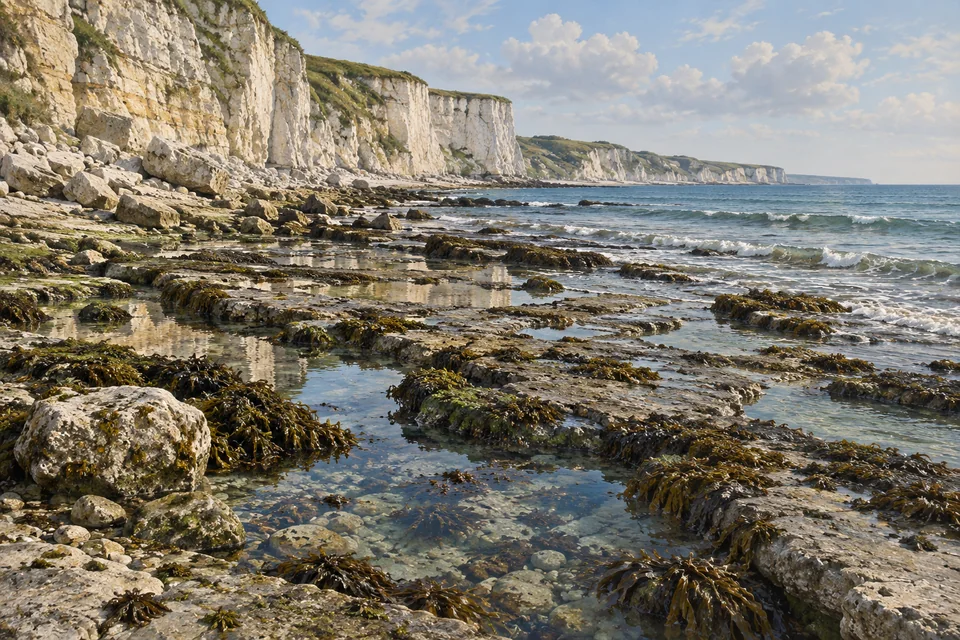
Define a sediment system
Sediment cells connect sources, stores, transfers and sinks. Their boundaries are analytical choices; exchanges can cross a chosen boundary during unusual conditions.
Geology influences sediment supply and resistance. Wave energy, direction and water levels affect where transport and deposition occur.
Worked example
A fictional cell gains 30,000 m³ from rivers and cliffs but loses 40,000 m³ offshore and alongshore annually. The net budget is −10,000 m³/year before unmeasured transfers.
Common mistake: A negative cell budget does not imply uniform retreat everywhere.
Explain thresholds and episodic change
A cliff can remain apparently stable while weathering, saturation or undercutting changes resistance. Failure occurs when driving forces exceed resistance; change can be sudden.
Historical retreat rates summarise events. Forecasting needs geological conditions, future forcing and uncertainty, not a straight-line extension alone.
Worked example
A fictional cliff loses 12 m over six years, all during one failure. Mean retreat is 2 m/year, though five annual observations might show no retreat.
Common mistake: A mean rate does not describe the sequence of failures.
Compare adaptive management pathways
Holding a line, realignment and nourishment change different stores, processes and exposure. Maintenance and future sea level influence their performance.
An adaptive pathway identifies decisions and triggers for changing action. It needs monitoring and time to implement later options; uncertainty does not justify ignoring present risk.
Worked example
A fictional trigger is 0.3 m relative sea-level rise. At an assumed constant 5 mm/year it would be reached in 60 years; acceleration and local land movement make this a scenario, not a date forecast.
Common mistake: A scenario trajectory is conditional on its assumptions.
Try a different resource
Coastal change rates
Both surveys use the same defined cliff-top line and coordinate system. Movement is a net landward change over the whole period.
| Record | Value |
|---|---|
| Initial survey year | 2000 |
| Final survey year | 2015 |
| Landward movement of the same cliff-top line (m) | 30 |
Resource description
Fictional repeated cliff-top surveys
Write an explanation
Check your answer
- Explain sediment and exposure effects.
- Compare spatial and temporal scales.
- Use monitoring evidence and conditional thresholds.
- Consider affected communities and limits to adaptation.
Practise and review a written answer
Try the model
Case studies
Managed realignment at Medmerry · Dawlish railway resilience · Adapting tidal flood protection in the Thames Estuary
These pages provide selected evidence. Check the whole case requirement with your teacher.
Read further
- www.aqa.org.uk — source or course reference
- www.aqa.org.uk — source or course reference
- qualifications.pearson.com — source or course reference
- www.ocr.org.uk — source or course reference
- www.eduqas.co.uk — source or course reference
Coastal processes and management · Storm surge and coastal inundation · Adaptation to changing conditions
Course links
AQA A-level Geography · Pearson Edexcel A-level Geography · OCR A-level Geography · Eduqas A-level Geography
Next topics
Coasts: sediment, change and management · Resource security: stocks, conflicts and alternative futures
Selected teaching sequence with fictional worked data. The linked case records supply bounded evidence; they do not satisfy every course case requirement.